Available Copies from Independent Booksellers

Young, Brigham; Watt, G. D.. Journal of Discourses. 1854, Volume I. F. D. Richards, Liverpool, 1854.
Price: US$175.00 + shipping
Description: Scarce Fair with detached boards and rubbed extremities. Rubbed and bumped edges, with boards exposed at the corners. The spine is chipped and has losses at the head. Pages are slightly rippled. Faintly soiled
Seller: Weller Book Works, A.B.A.A., Salt Lake City, UT, U.S.A.
Price: US$3500.00 + shipping
Condition: Very Good
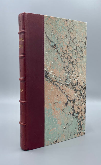
Description: 136; 16pp. Octavo [23 cm] in rebound red calf over marbled boards, with gilt spine title and raised spine bands, new endpapers. Occasional minor tide marks in the top margins, and light pencil marginalia. "This book is one of the first detailed examinations of the "Central Route" from Missouri to the Pacific, and a basic piece of Western Americana"--Cowan, p.273. Flake 3934. Howes H365. Wagner-Camp 235. Wheat Transmississippi 808. With content pertaining to the Mormons and Utah. It is noted in Flake that the author witnesses the evacuation of Paragonah as ordered by Brigham Young during the Walker War, describes Parowan and Little Salt Lake, relates the Mormon custom of securing Indian babies, and discusses Mormon-Indian relations. Complete with 13 tinted lithographic plates. Several pages of advertisements and the uncommon folding map (tape repairs and some restoration; several fold splits not taped; a handful of notations and markings) at rear. The map spans from Van Buren (Fort Smith) and Independence on the east, and the Pacific Ocean, and from Lake Sevier (here not named) near "Massacre of Capt. Gunnison & Party," north to Pike's Peak, and through to San Bernardino Mt and Santa Fe to the south. The map highlights several significant routes- "Road from Independence to Santa Fe,' "Trail from California to Abiquiu New Mexico," and "Rev'd Mr. Brier's Route." It also includes details of the Rocky Mountain area. With regards to this important map, Wheat notes, "A Note on the map reads, 'The route from the mouth of the Huerfano R. to Las Vegas de Santa Clara is from notes kept by G. H. Heap during the Expedition of Superintendent Beale from Westport M-ri. to California in the year 1853. The remainder is from the surveys of J. C. Fremont and others.'" The copy that we offer is superior, as it is not usually seen with the map.
Seller: Ken Sanders Rare Books, ABAA, Salt Lake City, UT, U.S.A.